
SELF GUIDED
KAYAKING
MILWAUKEE RIVER KAYAKING
SELF GUIDED KAYAKING
Let us handle the logistics so you can focus on the paddling! Forward Outdoor offers kayak shuttle services along the Milwaukee River and beyond. You can use your own boat or rent from us. Rentals include an orientation and safety instruction once you get to the river.
1
PARK YOUR CAR

2
RIDE UPSTREAM

3
GEAR UP & BRIEFING

4
KAYAK TO CAR

PACKAGES
SINGLE KAYAK: $49
Includes:
- Shuttle from the parking area upstream to the kayaking spot
- Boat safety/orientation
- Kayak downstream to your car
- 2 or 3-hour experiences
- Must be 12 years old to paddle alone
TANDEM KAYAK: $89
Includes:
- Shuttle from the parking area upstream to the kayaking spot
- Boat safety/orientation
- Kayak downstream to your car
- 2 or 3-hour experiences
- Great for kids under 12. Must be with someone 12 or over, and have a parent/guardian. Minimum of 35 pounds.
SHUTTLE ONLY: $25
If you have your own gear, you can put your kayak or canoe in our trailer, hop in the shuttle van and we will take you to the put in. Optional safety and orientation, then paddle downstream to your car.
Great for people who have their own boats but also want to bring along friends that don’t have their own, they can rent from us and you all paddle together!
Group discounts: 4+ paddlers reserving together receive 10% off. See our group discounts page.
RIVER SECTION DETAILS
Our rotating schedule means we run one section per day from spring through fall, offering our two core sections in Thiensville and Brown Deer most frequently. We will occasionally run other sections of the river due to event availability at launches or just to give you more options to see new scenery! Our high-quality rental is a sit-on-top kayak, with options for tandems or sit-insides if available.
Below, you’ll find details on each section we run—choose your adventure, hop on the shuttle, and enjoy the river!
THIENSVILLE SECTION
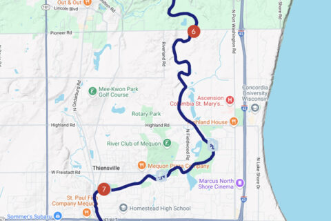
This crowd favorite is part of our “Core Four” for a reason—reliable water levels, peaceful paddling, and some of the most natural scenery on the river. The first half feels almost untouched, winding through forested banks and wildlife habitat with barely a house in sight. As you approach Thiensville, you’ll pass nature preserves before the river begins to widen and slow, taking on a lake-like feel near the dam. Expect a calm, scenic float with occasional boat traffic near the end on busy weekends.
> Difficulty Level: Easy
> Put In:Garrison’s Glen in Mequon.
> Take Out: Village Park in Thiensville.
> Meeting Location/Parking: Village Park in Thiensville, plenty of parking.
> River Miles: 6.5 miles
> Approx. Paddle Time: 2.5-3 hours
> Bathrooms: Garrison’s Glen: None, Thiensville Village Park: Flush toilets
> Rapids: A few riffles possible towards the beginning in low water, but most of this section is plenty deep and calm.
Section Notes:Water Levels: Good at almost any level, during low water there are one or two small spots you might scrape
BROWN DEER SECTION
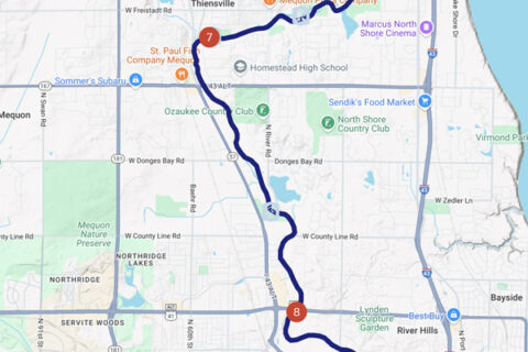
This section offers a fascinating blend of tree-lined parks, wooded stretches, and quiet backyards. It’s one of the most accessible ways to experience the Milwaukee River close to the city, with reliable water levels and regular wildlife sightings, from herons and turtles to deer. The journey starts just below the Thiensville dam and flows south toward Brown Deer, with a bathroom stop available about two-thirds of the way at Mequon’s River Barn Park. A great pick for those wanting a mellow paddle with a mix of natural beauty and neighborhood charm.
> Difficulty Level: Easy
> Put In: Village Park in Thiensville.
> Take Out: Badger Meter River Park in Brown Deer.
> Meeting Location/Parking: Badger Meter Park in Brown Deer. When the designated parking spots fill up there is free street parking on N Kildeer Ct at the entrance.
> River Miles: 4.5 miles
> Approx. Paddle Time: 1.75-2 hours
> Bathrooms: Thiensville Village Park: Flush toilets, Badger Meter River Park: Porta-potty
> Rapids: none
Section Notes:
Water Levels: Good at almost any level, during low water there are a few spots you might scrape. Should have at least 150-200 CFS for good conditions.
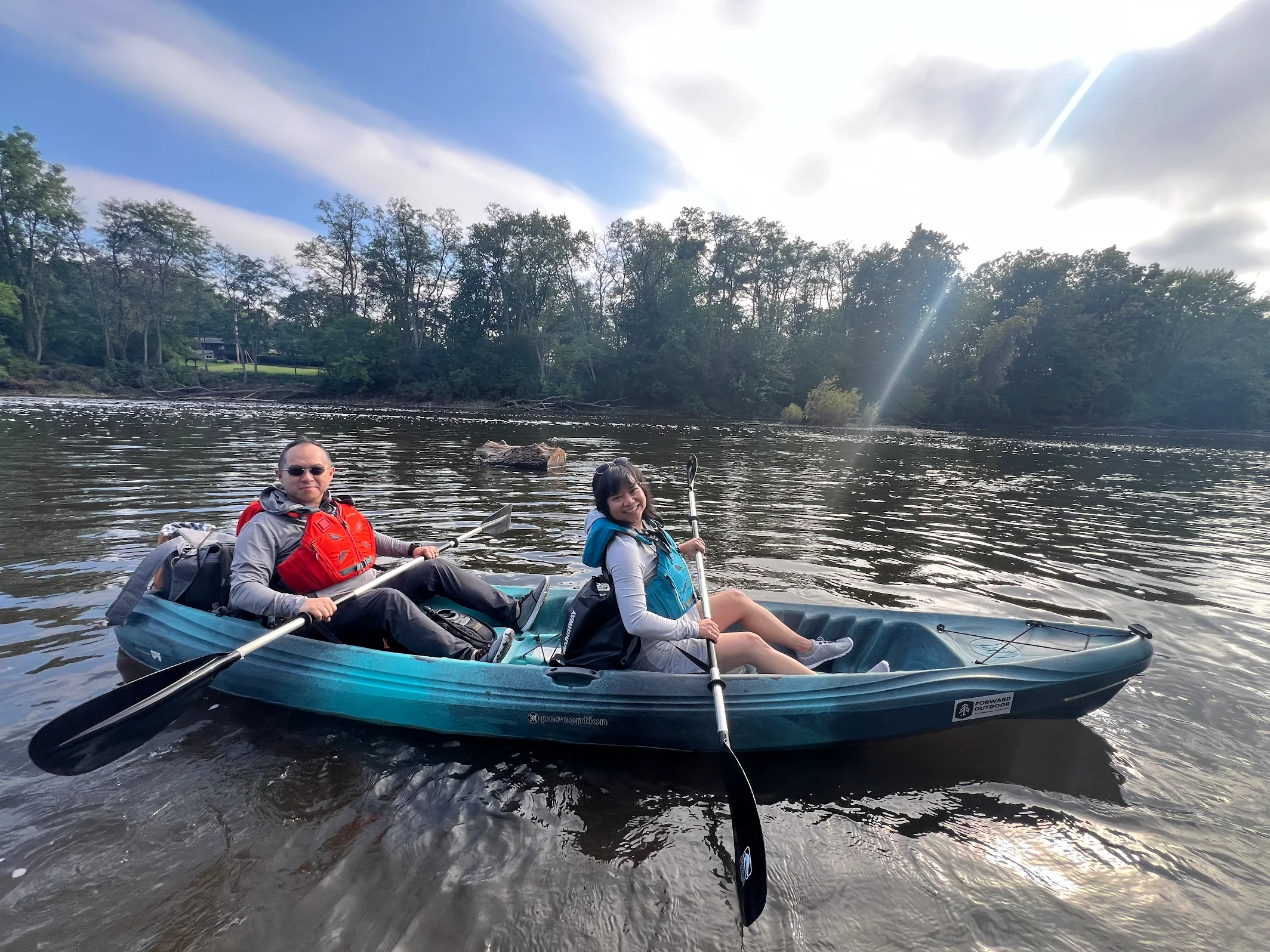
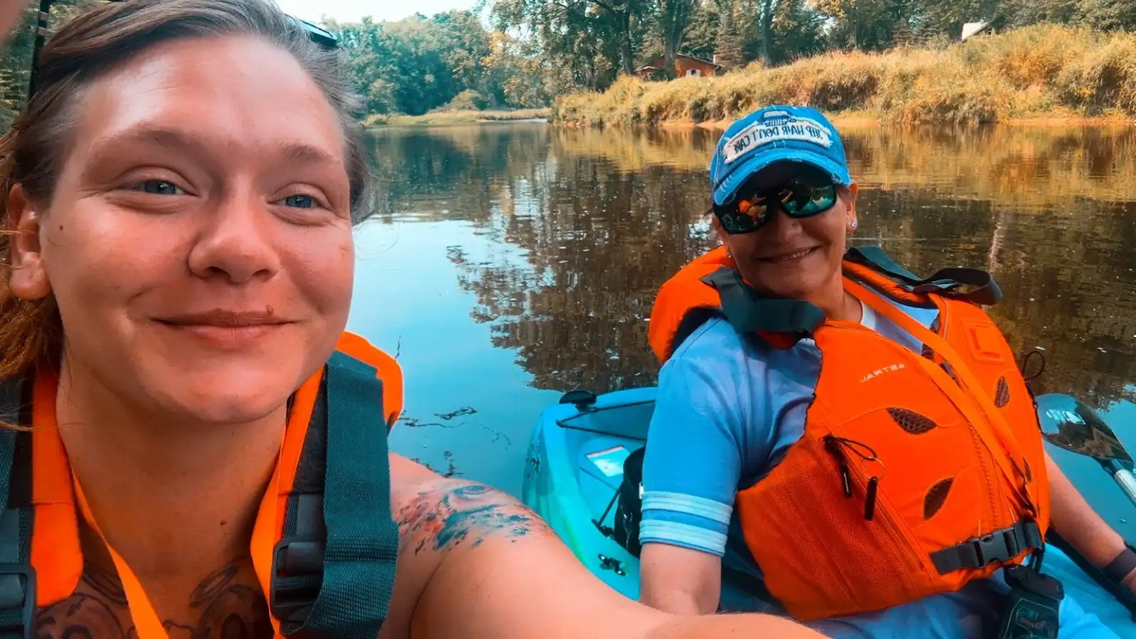
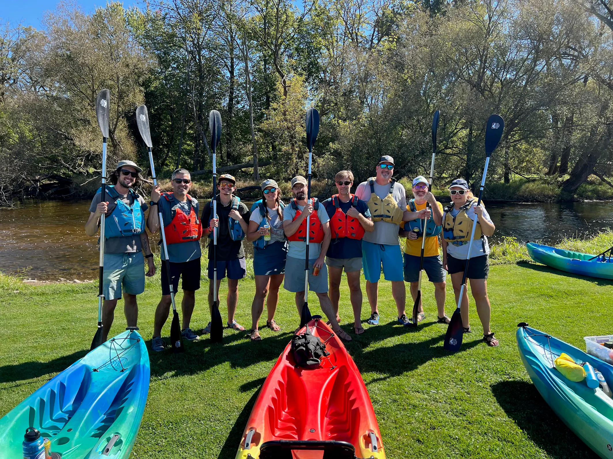
PICS FROM RECENT ADVENTURES
")
